Blog

Blizzard Updates

In reverse chronological order (newest first):

  • Measurement site is now open (as of 3 pm Monday) & ready for the next precip event!
  • The snow measurement site is currently blocked by 4+ ft drifts. Will dig out this afternoon. But I was able to see from a distance that only a trace of snow has fallen since the last report at 10:40 pm Sunday (at which time I body surfed through the snow to reach the gauge).
  • Winds should really start to fall off after noon today (Monday).
  • Our storm total from Saturday morning thru Sunday night is 12.3″ of snow. Likely we got a few additional inches but they found a home in nearby drifts.
  • Just recorded another low-ish snowfall measurement of 0.9″ at 10:40 pm. Can’t keep snow on the board.
  • As of 11 pm it appears that winds may have peaked in the 8 pm hour. Each successive hour has had a lower average wind speed.
  • NEW Station Record of 51 mph set at 9:03 pm Sunday
  • Winds should peak between about 7 pm – 9 pm Sunday
  • Last snow measurement of 1.2″ (representing snowfall between 7:30 am – 2:05 pm) is low. Unfortunately, snow is being blown off the collection surface. I left some snow on there so hopefully the incoming snow will stick to it. But with almost horizontal snowfall, it’s tough to measure! It all wants to collect in a drifted pile somewhere.
  • It’s possible we could break our station wind record (49 mph) in the next 24 hours.
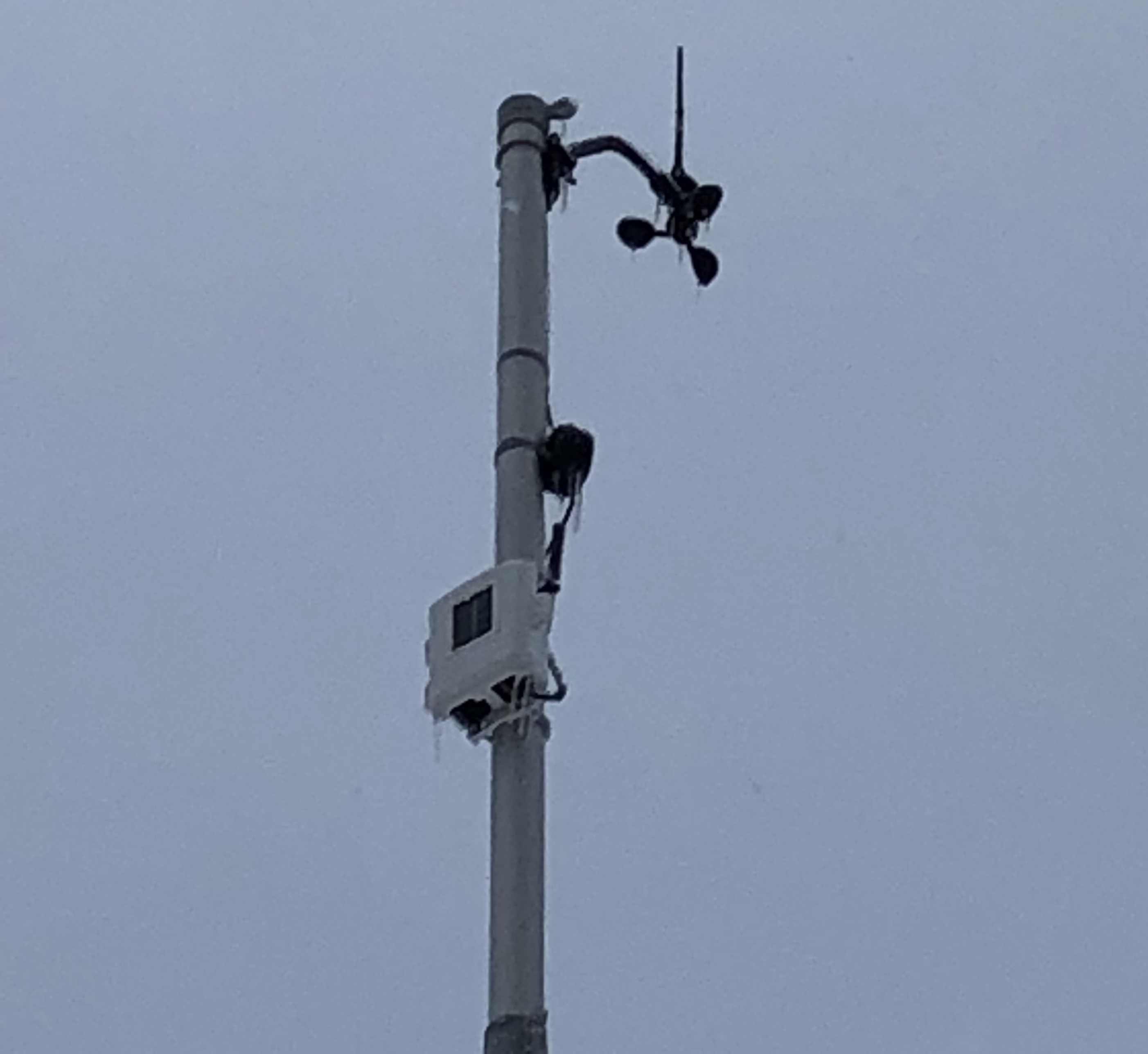
  • We received some freezing rain overnight. About 0.2″. From what I could see, though, power lines and tree limbs were unaffected — no ice accumulation. Probably too much wind and too warm to stick. The really cold temps don’t hit until later tonight.
  • Almost an entire February’s worth of precipitation fell in the 24 hours ending 7:30 am Sunday: 1.22″. Normally we receive about 1.3″ of melted precipitation for the month. We’re now at 4.99″ for February 2019!

Snow Measurements On Hold

Due to a combination of intense recent snowfall, high winds, and limited space, we have nowhere to place a snow board where it is not subject to significant drifting. The city has become a labyrinth of snow piles that powerful lake winds are merging and leveling.

Therefore, effective 11 AM Friday 2/15, we are suspending snow measurements indefinitely.

Once the winds subside and/or the peaks reduce/even out we will resume snow measurement. Given the forecast of sunny to partly sunny days this weekend and limited snowfall in the next several days, hopefully that will happen by next week.

Note: a liquid equivalent reading taken from our gauge will continue to appear in the precipitation tables on our History page.

[UPDATE Saturday 2/16/19]: I have relocated a snow board to be further from any potentially drifting high spots to the north and northwest (two of the most common direction for snow in the winter here). After knocking on wood, I am now reinstating measurements. I have added 2″ to yesterday’s snow total as a minimum estimate of what fell after 8AM.


Putting Weather Alerts On A Diet

Synopsis: There are too many alerts containing overblown/non-applicable impacts and unnecessary instructions. Continue reading to see which alerts will now be displayed on the home page and why.

****

I’ve grown weary of all the alerts from the NWS that either 1) don’t apply within the city limits of Marquette or 2) don’t meet legitimate criteria for issuance.

Take, for example, Saturday morning’s wind chill advisory where there were virtually calm winds for hours while air temps were above 0.

Or consider the recent winter storm warning (for 2/7/19) where most parts of the county got 5-7″ and published guidelines require 8″ in 12 hours or 10″ in 24 hours. This occurred despite a drying trend in the model guidance even before the warning was issued. In isolation, this wouldn’t be a problem. Unfortunately, we haven’t had a single storm that meets warning criteria this winter (at least not in Marquette). Yet how many warnings have we had? I’ve lost count.

I’m sure any decision can be justified as following the spirit rather than the letter of the law. To that I say “if you can bend the rules one way, you can bend them the other. ”

I think, in general, more deference should be shown toward the unflappable, resilient spirit of Marquette and the U.P. We do not need alerts every time more than 2″ of snow is going to fall. Marquette normally receives ~10ft of snow per year. That’s a steady stream of statements & advisories notifying us that it’s, indeed, winter.

Furthermore, and I’m sorry/not sorry for the grumpy old man rant here, we don’t need to be constantly told how to dress, drive, and survive historically unremarkable winter events. Anyone who is that ignorant or helpless here is unlikely to fully read and heed the information anyway.

I may be told there is nothing that can be done because of mandates from on high. God (D.C.) has ordained these things and, therefore, all things are in their proper order. Well, in fact, there is something I can do. As of earlier today, I have suspended all but the most life-threatening notifications from the home page. These include: tornado watches/warnings, flood watches/warnings and ice storm warnings. Those are, indeed, unexpected events that can catch people unaware and endanger them without proper notification. The rest can be handled by the forecast.

The area page will continue to show all alerts for two reasons. First, most alerts are for the area rather than the city which is the focus of the home page. Secondly, I realize not everyone will agree with my decision, and I believe in freedom of choice.

****

[UPDATE Mon 2/11/19 12:15PM]: After further consideration, I am going to allow Winter Storm Warnings to post on the home page.  This is because Marquetters frequently travel outside the city. At least as important, the alert serves as a heads up to check the forecast and prepare for something other than the standard inch or two of snow.

Our Wind Cups Froze

Like every other object in its path, Monday’s ice storm did a number on our anemometer (wind gauge). The pole to which it’s mounted cannot be retracted because… you guessed it. So nothing can be done but wait.

It’s going to take either a big gust of wind (> 25mph), some sunshine and/or warmer temperatures to free the spinning cups. Until then, wind speeds will read 0. With temps barely cracking 20 in the next 5 days, it might be awhile before it’s fixed.

[UPDATE 2/5/19 6PM]: High winds forecast for Thursday may provide sufficient energy to loosen the ice. Fingers crossed.

The directional indicator is currently turning as it should.  So if you see “N”, that means winds are coming from the north.

Just FYI, the National Weather Service says this is only the 2nd time in the 2000s that an Ice Storm Warning has been issued. It’s just not something we are accustomed to up here. That’s doubly true for February. We got about an inch of freezing rain out of that storm!

If It’s Below Freezing, Why Is It Raining?

Long story short… freezing rain occurs when the atmosphere is warmer higher up than at ground level. It’s called an inversion. Usually it’s a shallow layer of warm air fairly close to the ground (below about 5000 ft) that precipitation falls through and melts. There is insufficient time for it to reform into snow before hitting the ground. Since the ground is frozen and the temperature is below 32 degrees, it will freeze.

We expect the lower atmosphere to continue cooling this afternoon so if any additional precip develops, it should fall as sleet or snow. Knock on wood.

Back to Top
Theme:

(Auto night: 9:06 PM - 6:47 AM)