Blog

Humidity Adjustments

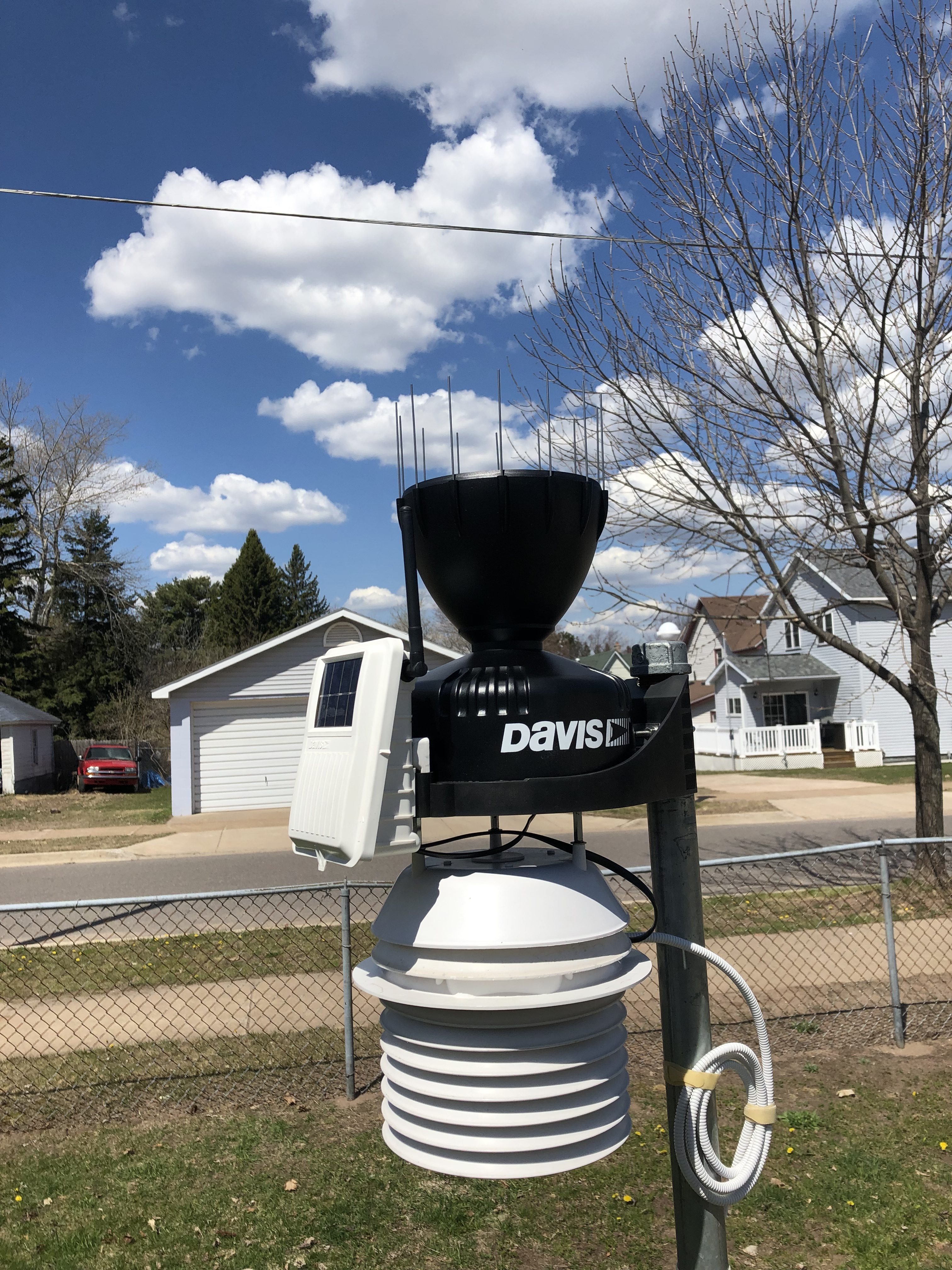
It appears our humidity sensor’s maximum value has lowered over time. This is, unfortunately, common with our particular weather station’s sensor. The process is accelerated by 24 hour fan aspiration. We’ve seen this behavior in 3 other units we’ve deployed in the past.

When we first installed this sensor last July, the top possible humidity reading was 98%. The ceiling has since lowered to 96%.

After a round of tests using an independently calibrated device yesterday & today, and in an effort to stay within +/- 3% of true ambient humidity, we’ve programmed adjustments to the following humidity readings:

  1. 94% +2% = 96%
  2. 95% +3% = 98%
  3. 96% + 4% = 100%

Because we use a 5 minute rolling average for humidity at times you will see values between 96%, 98%, and 100%.

The good news is, based on experience with this sensor model, the biases should now be fairly solidified and predictable.

The bad news is that when humidity starts to descend from persistently moist conditions (>95% and >2 hours) the sensor can lag because of moisture uptake within the protective housing. Our programmed offsets exaggerate this process. We believe it’s more important to properly indicate the arrival of fog & dew than the drier air that immediately follows.

As always, though, we will test to verify sensor performance every so often and adjust accordingly.

****

NOTE: We send corrected humidities to CWOP & Weather Underground.

UPDATE 5/28/19: After an overnight period of saturated air, discovered the sensor’s ceiling is actually 96%; corrected offsets.

Cloudy With a Chance of Old School

I have swapped out the somewhat simplistic cloud icons that previously served as a background for navigation links with hand-drawn clouds. My wife and I both feel these new icons provide more visual appeal & warmth. Then again we like anything that reminds us of a mid-century movie poster.

I’m aware that using pictures for links is considered passe by most designers now.  So-called skeumorphic interface design was popularized in early Apple products decades ago. Round about 2012 everything started going “flat”.

As for this web app, we have crowned function king. The design is largely fit to purpose with a few embellishments here & there.

Did I mention I’m not a “designer”? Oh well, add that to the list of my faults.

***

The cloud images were acquired from Iconfinder & appear courtesy of a Creative Commons license. The artist is “Azuresol”. I removed some snowflakes under them since I wanted to use them year-round. I also created a variant that is lighter. A darker icon indicates the current page while a lighter icon links to other pages.

New Rain Gauge

Today I installed a new tipping spoon automatic rain gauge that will report real-time rainfall to the website. This is described by the manufacturer, Davis Instruments, as an “incremental improvement” over the previous tipping bucket gauge.

For the most part, our automatic gauge has run very close to our 4″ reference gauge which is 6 ft away & 2 ft lower. However, sometimes — particularly during large rain events — we encounter under reports of approximately 25% to 50%. Discrepancies can appear at any time regardless of wind speed or direction. Many others have reported similar, inexplicable anomalies with the old gauge.

Astute, long-time readers may notice the new “Aerocone” funnel in the picture. Supposedly, this cuts down on rain-induced measurement errors by reducing turbulence where rain is collected.

We’ll see how the new gauge performs. Early side-by-side comparisons from other station owners with reference equipment are encouraging. I’m definitely in the “trust but verify” camp nonetheless.

[UPDATE 5/20/19: The new gauge is performing marvelously so far. This weekend the tipping spoon reported 2.70″ of rain. Our reference gauge caught 2.67″. That’s about a 1% departure. Given the distance & design differences between the two gauges, small variances are normal.]

Minor Site Updates

You will no longer see the spinner image when the home page is refreshed. Previously iOS (iPhones/iPads) would sometimes display a blank page unless a slight delay was created while refreshing a page from device memory. The image let visitors know something was happening — no need to refresh manually which could make it worse. It appears that bug is gone now (knock on wood). So I have removed the image.

On the maps page, you’ll notice a couple changes. First, I had to replace the “Regional Radar” with a different image because the previous one hadn’t been updated in awhile. I had to completely remove the Surface Maps image for the same reason; however, there isn’t a freely available alternative available at the moment. If anyone would really like to see a replacement for a frontal map, let me know. Otherwise, I will leave everything as is. (Update 5/10/19: Both maps have been returned to service after being frozen for 3 days. We’ll keep an eye on them.)

The loop images on the maps page will now play continuously. I had to eliminate the play/pause button because on certain devices it was preventing the image from loading. It also seemed to slow down the loading process and sometimes interfere with the “user experience”.

I’ve addressed an issue where previously on iPhones the display would zoom when you selected an “Enhanced Radar” option. It should no longer do that (in portrait orientation at least).

I also fixed a bug affecting rain measurements on the home page that would only happen under rare circumstances. The malfunction also created incorrect totals for “Yesterday’s Rainfall” in the Almanac section, but only when metric units were selected in the page settings.

Finally, I’ve performed some back end improvements. The site now fully supports the HTTP/2 protocol resulting in better performance.

Back to Top
Theme:

(Auto night: 9:06 PM - 6:47 AM)