Blog

200″ of snow in Marquette? Not even close.

You may have seen the widely circulated story that the local National Weather Service office has measured over 200 inches of snow this season as of Monday morning, February 25th. Unfortunately, some articles have explicitly assigned the total to Marquette. Others have allowed readers to conclude that this is a representative total for the area. In fact, the NWS office is located well outside of the city limits in the highlands which receive substantially more snow. 

A helpful rule of thumb is that for every 100 ft you gain in elevation, you can expect 10 additional inches of yearly snowfall.* Of course, there are other factors, such as differing lake exposure, that come into play in the wider area. For this comparison, however, elevation is the key difference. So, given that the NWS office is 800 ft higher than the lakeshore of Marquette, that represents approximately 80″ of additional snowfall per year. In fact, that’s very close to the 30 year normals. Marquette normally receives close to 120″, and Negaunee Township gets a little over 200″ per year.

So far this season (October 1 – February 25) in Marquette, the city’s official NOAA COOP weather station has recorded 96.3″. That’s less than HALF the amount the NWS office received. Just a mile away from the COOP station at our location, 3 blocks south of downtown, we recorded 108″ in that period. We are about 100 ft higher than the COOP station, which explains why we’ve had a bit more snow. To be more than fair, I would allow for an additional foot or so lost to high winds this winter at our station (which would give us about 120″).

So, in other words, both Marquette and Negaunee Twp have received something close to their normal seasonal totals thru the end of February. That would be the proper way to frame a story if, indeed, you were writing about Marquette.

Continue reading “200″ of snow in Marquette? Not even close.”

Our Wind Cups Froze

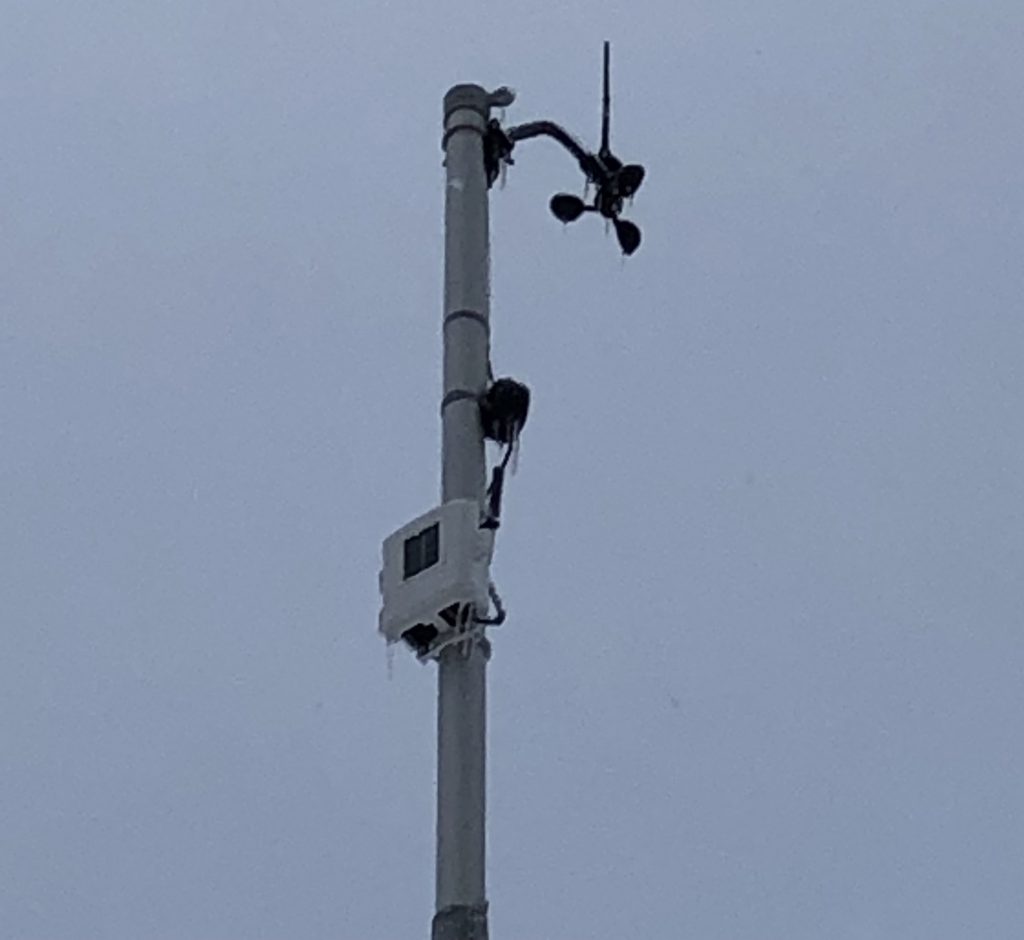
Like every other object in its path, Monday’s ice storm did a number on our anemometer (wind gauge). The pole to which it’s mounted cannot be retracted because… you guessed it. So nothing can be done but wait.

It’s going to take either a big gust of wind (> 25mph), some sunshine and/or warmer temperatures to free the spinning cups. Until then, wind speeds will read 0. With temps barely cracking 20 in the next 5 days, it might be awhile before it’s fixed.

[UPDATE 2/5/19 6PM]: High winds forecast for Thursday may provide sufficient energy to loosen the ice. Fingers crossed.

The directional indicator is currently turning as it should.  So if you see “N”, that means winds are coming from the north.

Just FYI, the National Weather Service says this is only the 2nd time in the 2000s that an Ice Storm Warning has been issued. It’s just not something we are accustomed to up here. That’s doubly true for February. We got about an inch of freezing rain out of that storm!

January WAS Running Warm…

That was until the #PolarVortex hit us last week. No chance of that now. After ending 2018 below normal, we are off to a cool start for 2019.

Snow is running below normal too. That makes sense when its colder as the atmosphere runs drier.

The latest winter storm has underperformed (thus far) in terms of city snowfall. No measurable snow as of 10:30PM Tuesday night. Too much westerly flow, not enough northerly.  That hasn’t kept the wind from kicking up quite a bit of blowing snow. Wind chills as of this posting were -20 and falling. You never know. I could post this, go to bed, and wake up to 6″ tomorrow.

This weekend should offer a reprieve, but don’t get too used to it. There appears to be another cooling trend in the extended outlook.

Punxsutawney Phil might be held at gunpoint this year.

*****

[UPDATE Wed 1/30/19 9:00AM]: Our snow board had only a trace of snow on it this morning. Our gauge caught what amounts to something like 1″ of snow (when you reconstruct it from liquid equivalence and compensate for under catch from wind).

Subzero Sunday

Not since February 2015, has Marquette seen a high temperature (measured from 8AM – 8AM) below 0 degrees. Can we add another subzero day to the record books?

The Coast Guard station is only about 100 yards from the official station in Marquette. It reported a high of -2 yesterday. At our station half a block from the Vet’s Home, we reached a daytime high of -2.5.

Also we’re keeping an eye on whether a record cold high temp was achieved. The previous record of -3 was last set in 2014. Meanwhile, we await official word. I will post an update below once I know.

Another day spent below 0 is possible on Wednesday. We should escape the worst of it, though, as the main core of cold air slides south of us. Be careful if you are traveling south into MN, WI, IL or lower MI. Life-threatening cold is in store.

Relief looks to arrive this weekend. 30s maybe. Keep an eye on the extended forecast.

******

UPDATE 1/28/19 1:00PM: We’ve received the report. The official weather station in Marquette saw a high of 1 degree between 8AM Sunday and 8AM Monday. Therefore, no records or notable events.

Between 4 & 5AM this morning, there was a rise in temp. We hit -1. The Coast Guard reported 0. Guessing the official station rose to +1 around then.

Snow Much Confusion

Sometimes, when you hear or read “a new record was set in Marquette today” in media reports, they are referring to the National Weather Service office in Negaunee Township. Such was the case yesterday, when it was widely reported that a daily snow record of 8.9″ was set on November 19th. Marquetters may have been scratching their heads thinking, “We maybe got 5 or 6″. I don’t see how we got 9!”

You may already be aware that the phrase “NWS Marquette” does not refer to the city proper. Sometimes, however, that phrase is omitted or put in small letters at the bottom of a graphic when discussing “Marquette’s” weather. It’s especially confusing for people who aren’t from here (students, for example) or visiting.

There’s about an 8 mile and 800ft elevation difference between the weather service forecast office just outside Negaunee and the lakeshore of Marquette. As a result, the former averages approximately 200″ of snow annually. The city of Marquette, as measured at the COOP station on Lakeshore Blvd, receives a yearly average of just under 120″. So about 40% less snow falls there than at the NWS office.

In Real Terms

To illustrate, on Nov 19-20 when the NWS office measured 12.3″, the Marquette COOP reported 6.7″ (and that’s including part of the 18th and 21st too). We’re 1 mile SW of the COOP station as the crow flies, and we recorded 6.1″ of snow for the 19th and 20th.*

So, no, we’re not under measuring. It may seem like Marquette received more than half a foot during that period, but drifts are excluded from our measurements. Boy are they impressive in places though! The gales will do that.

That said, we’ve still had one incredible November for snowfall! Officially, 14.2″ of snow had fallen by 8AM today. The normal total for the entire month is 10.9″. Unofficially, at our station next to the Vet’s Home, the 8AM total was 17.3″ with 9 days to go! We tend to measure a bit more snow at our location than they do down at the lakefront. That’s because:

  1. We are about 100′ higher which usually means more snow.
  2. We measure more often which prevents snow from sublimating (evaporating), melting or compacting.

Well, if you’re in Marquette, I hope you like a white holiday. Happy Thanksgiving to you and yours!

————————-

UPDATE (later that day): Here’s an example headline: Marquette in Michigan’s Upper Peninsula sets daily snowfall record. While this is from downstate, I’ve seen similar things from the local media here.

UPDATE (11/22/18): Speak of the devil, here’s a link to local media spreading confusion: Monday’s snowfall breaks record for Marquette. Earth to media: we have a 147 years of public weather records in Marquette, and, oddly, they weren’t measured in Negaunee Township.

————————-

* The NWS and this station record weather from midnight to midnight. The COOP station records from 8AM – 8AM making daily comparisons a bit difficult.


Back to Top
Theme:

(Auto night: 10:03 PM - 5:31 AM)