
About Us...
Why use this site?
It's run locally for anyone living in or visiting Marquette, Michigan. You'll receive accurate, real-time weather for the city.
Speed! Our server is in Michigan, and our pages consume very little data.
We have no ads or external tracking scripts that collect or sell your activity.
This site will run on any modern device (fully responsive) and a host of older ones too.
Security! Featuring 256-bit encryption and no 3rd party content by default aside from NWS forecast icons. The site even retains basic functionality with JavaScript disabled.
Who runs this site?
From July 2015 through September 2024 a resident of Marquette, John Wright, founded and operated this website. Upon moving out of state, the site was turned over for hosting and maintenance to Pasty.NET, an internet service provider serving remote areas of the U.P. This is truly a community website born & raised in Upper Michigan.
Updates:
The home page reloads automatically every 10 minutes to grab the latest forecast and almanac (unless you disable reloads in page settings -- see upper right of home page). If you leave the home page open but minimize it or select a different tab, when you return -- assuming more than 10 minutes has passed -- a complete refresh will occur. Otherwise, only the conditions will update. Alerts from the National Weather Service are updated every 60 seconds and when present appear on the Home, Area, and Maps pages upon refresh. The temps and forecast on the City & Area pages are updated every 15 minutes (no auto refresh).
Forecasts
The National Weather Service provides us a grid forecast covering a portion of the city. Due to Marquette's varying elevation and lake exposure we cannot guarantee this forecast will equally apply to all areas. However, we have found it to be a good, general forecast for most neighborhoods within the city limits. Be aware that within 1-2 blocks of the lakeshore, particularly around McCarty's Cove, the lake's influence is strongest (moderating temperatures, raising humidity).
Marquette's Unique Climate
Others often use the NWS records measured in Negaunee Township (old County Airport location) which begin in the 1960s when describing "Marquette" weather or climate. We use Marquette city records (going back to 1857) on the home page almanac & History page. Why is this important? Marquette has an average annual temperature (43.2) that's closer to Traverse City (45.4) than Negaunee Twp (40.1). We are also in a USDA plant hardiness zone (5b) shared with Des Moines, IA. Simply put, it's different here!
In the winter, lake-effect snow increases as you rise in elevation. A 750 foot gain between the city lakeshore and the National Weather Service forecast office, for example, is the difference between approximately 120 inches of snow (Marquette) and 200+ inches of snow (Negaunee) on average annually. Just for reference, 80 inches is an entire winter's worth of snow in Grand Rapids, MI!
The city also features a "heat island" (due to its concentration of buildings & concrete which absorb and release heat). In the summer, when winds are from the south or west, it can be noticably hotter in the city than interior U.P. communities. If winds come off the lake the opposite can happen, Marquette can be significantly cooler than surrounding areas.
For weather in Marquette County and beyond, see our area page where you can compare temperatures and get the regional outlook.
Radars
Our featured radar option is seen at the top of the Maps page: a full-service weather widget that defaults to the latest NEXRAD radar image. It offers a loop of recent radar activity, among other things.
Design
This website's blue-aqua color scheme attempts to evoke Marquette's environment particularly the interplay of the sky and the water. Shades of gray represent cloudy skies and the warm tones suggest sandy earth and sunshine. The objective was to mimic a good painting which appears to change according to the light. At night, the site automatically displays a dark theme that's easier on your eyes and your device's battery. You can override the default theme by scrolling to the bottom of any page on the site and selecting "day" or "night".
Compatibility
This site is designed to perform well with mobile and desktop versions of Chrome, Safari, Firefox, Opera, and Edge browsing apps released within the last 5 years. If you are using older software, the site will either "gracefully degrade" (content remains readable but certain features are inactive) or completely breakdown (ancient browsers will do that!). Beware that outdated browser software is a gateway for hackers to gain control of your computing device.
Privacy Policy
Upon entering the home page of this website, assuming Javascript and cookies are enabled in your browser, a cookie (or local storage object if available) is set indicating the start time of your visit. That cookie exists only so the home page can automatically refresh after 10 minutes. You can disable auto refresh in the page settings (wheel icon, upper right of home page).
Settings on the home page and theme settings sitewide are preserved in cookies on your device. We do not analyze the usage of these preferences nor are they seen by any 3rd party.
If you choose to disable cookies, the site will operate properly but with reduced functionality on the home page. For instance, you will no longer receive automatic updates or have access to enhanced radar views.
If you fill out the contact form, we will not sell or distribute your email address for any reason.
Disclaimer
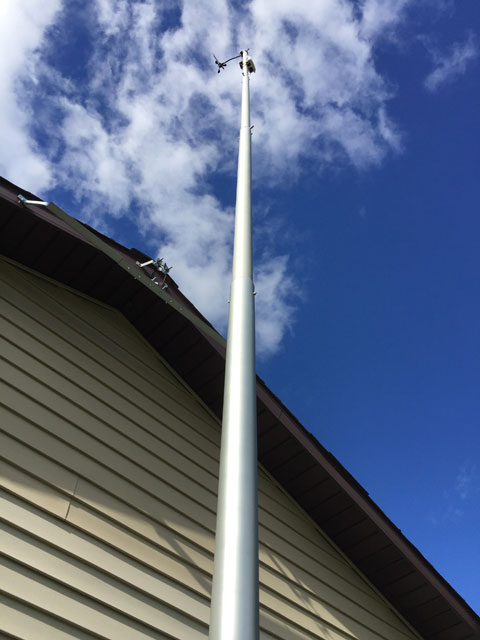
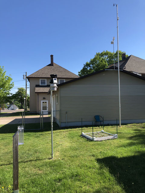
This website is intended for informational purposes only. It is not affiliated with the City of Marquette municipal government. The administrator is an educated weather enthusiast not a meteorologist. Current & past conditions are provided by a privately operated weather station. All official weather records for Marquette, MI, are recorded by COOP station MRQM4 at the Water Filtration Plant (320 N. Lakeshore Blvd). For decisions regarding the preservation of life or property, please visit the National Weather Service Marquette or tune into local radio and television stations which are required, by law, to alert the public in the event of an emergency.
Providers
All forecasts are provided by the National Weather Service. NOAA & Synoptic Data provide conditions seen on the Area page. The radar widget on the Maps page comes from Windy. Satellite imagery on that page sources from CIRA (GeoColor) & UW-Madison SSEC (black & white). The UV Forecast comes courtesy of the EPA. Finally, the Regional Radar Loop is from The Weather Company. We thank each of them for making these resources available to our free, community-based, science education endeavor.